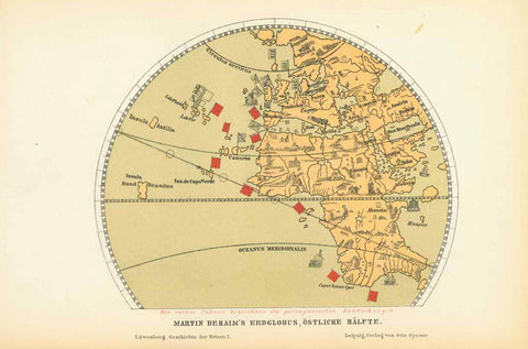
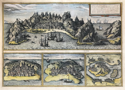
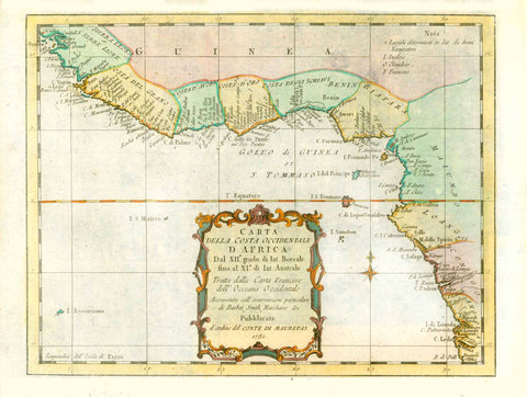
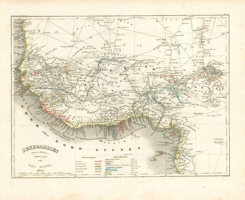
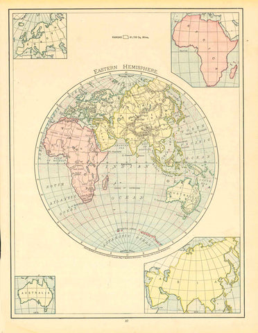
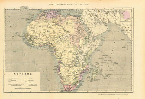
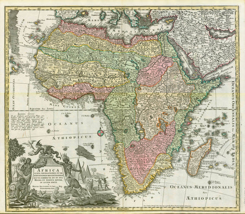
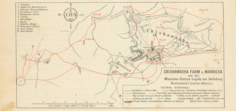
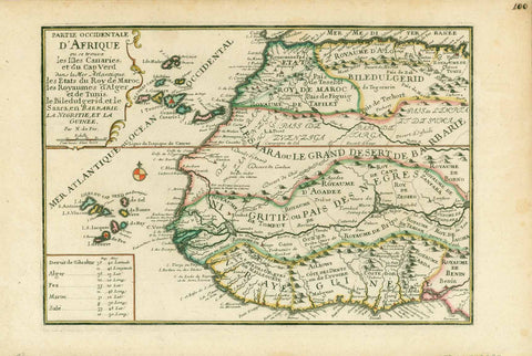
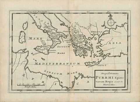
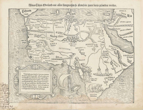
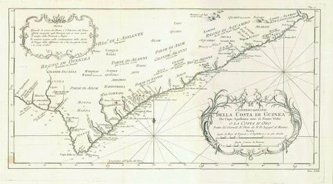
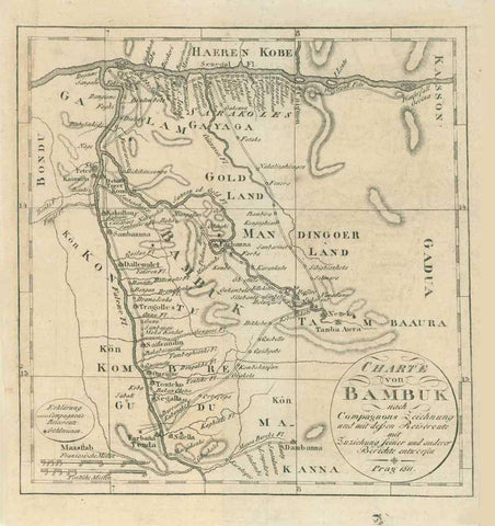
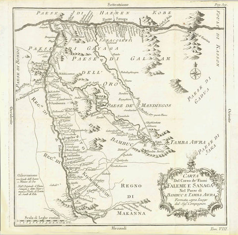
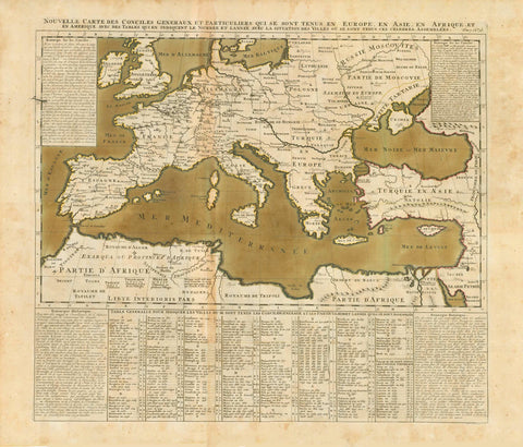
Maps of Africa
Antique maps of countries in Africa including Algeria, Egypt, Libya, Morocco, South Sudan, Sudan, Tunisia, Western Sahara, Burundi, Comoros, Djibouti, Eritrea, Ethiopia, Kenya, Madagascar, Malawi, Mauritius, Mayotte, Mozambique, Reunion, Rwanda, Seychelles, Somalia, Tanzania, Uganda, Zambia, Zimbabwe, Benin, Burkina Faso, Cape Verde, Cote d'Ivoire (Ivory Coast), Gambia, Ghana, Guinea, Guinea-Bissau, Liberia, Mali, Mauritania, Niger, Nigeria, Saint Helena, Senegal, Sierra Leone, Togo, Angola, Cameroon, Central African Republic, Chad, Congo, Democratic Republic of the Congo, Equatorial Guinea, Gabon, Sao Tome and Principe, Botswana, Lesotho, Namibia,South Africa,Swaziland.
Please enjoy our maps from other parts of the world:
Maps of North America - Maps of South America - Maps of Europe - Maps of Asia - Maps of the Middle East Region - Maps of Australasia - Maps of the World - Maps of Africa - Maps of Polar Regions.