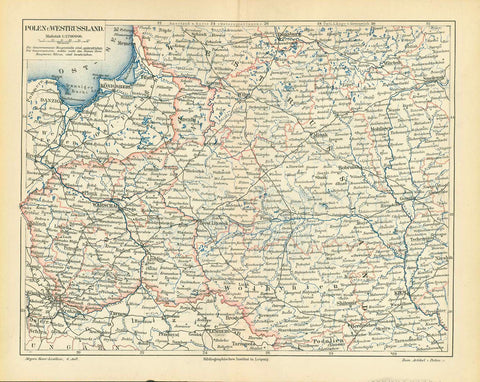
Maps, Poland, Silesia, Wohlau, Księstwo wołowskie, Homann heirs
"Principatus Silesiae Wolani in suos Circulos Wohlau, Wintzig, Herrnstadt, Ruetzen, Steinau und Rauden divisi a I.W.Wieland Geometra et Locumtenente summa diligentia perlustrati et imensi Nova et accuratissima Tabula geographica ob praematuram mortem Authoris denuo rectificata per Caesar. Locumtenentem at Archit. militarem Matthaeum a Schubarth Sumptibus Pricipum et Ord. Silesiae A.R.S. MDCCXXXVI excusa Norimbergae ab Hered. HomannianisÉ"
Fuerstenthum Wohlau mit fuerstlichem Wappen. Sehr detaillierte und dekorative handkolorierte Kupferstichkarte nach Zeichnung von Johann Wilhelm Wieland (? - 1736) und nach dessen Tod ueberarbeitet von Matthaeus Schubart (? - 1758). Aus dem "Atlas Silesiae". Herausgeber: Homann Erben, Nürnberg. Die Karte ist 1736 datiert und gedruckt. Der Atlas mit insgesamt 18 Kupferstichkarten ( zwei Übersichtskarten und 16 Fürstentuemer) im Gross-Folio-Format wurde insgesamt aber erst 1750 herausgegeben. Die Kartuschen wunderschön handkoloriert!
Mittelfalz mit leichten Farbabweichungen. Untere Marge schon vor dem Druck professionell angesetzt. Plattenrand ist auf dem angesetzten Papier. Ansonsten sehr guter Zustand.
Principality Wohlau (Wolow) with coat of arms. Hand-colored copper etching after the drawing by Johann Wilhelm Wiegand (? - 1736) and, after his death, revised by Matthaeus Schubarth (ß - 1758). Published in the "Atlas Silesiae". Published by Homann Heirs in Nuremberg. The map is dated and printed in 1736, although the complete atlas with 18 grand-folio-size maps was published in its entirety in 1750. This very large map shows much detail. Even small villages are mentioned. Very detailed and very decorative. Cartouches are very prettily hand-colored.
Original antique print
Centerfold has some color disfiguration. Lower margin was added in Nuremberg before printing. Plate mark is on added paper. Otherwise no major traces of age and use.
55,6 x 81,2 cm (ca.21.9 x 32") interior design, wall decoration, ideas, idea, gift ideas, present, vintage, charming, special, decoration, home interior, living room design