Maps, Poland, Russia, Germany, Prussia, Giles Vaugondy
Regular price
$1,200.00
Shipping and Taxes calculated at checkout.
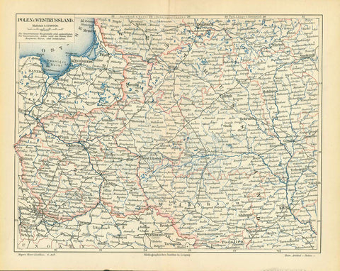
"La Prusse divisée en Prusse Royale et Prusse Ducal"
For a 30% discount enter MAPS30 at chekout
Copper etching with original borderline hand color.
By Gilles Robert de Vaugondy (1723-1786)
Published by Paolo Santini in Venice, 1778
Very detailed map of East Prussia (now Poland for the most part, the northern part of East Prussia became Russian after World War II)
Original antique print
Vertical centerfold. A few very minor signs of age and use.
48,5 x 61 cm (ca. 19 x 24")