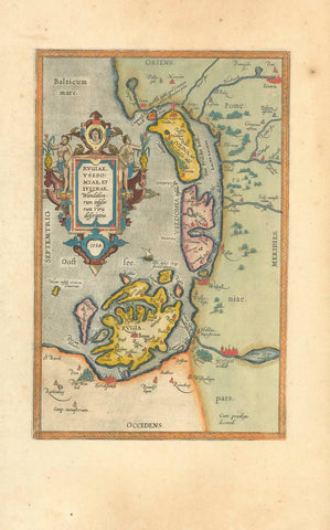
Maps, Germany, Ober Erthal, Unter Erthal, Windheim, Feuerthal, Dibbach, Westheim, Hammelburg, Unter Aschenbach,Fuchsstadt
Gefecht bei Hammelburg während des "Deutschen Krieges" zwischen Preussen und der deutschen Bundesarmee.
Sehr detaillierte lithographische Karte (Heliogravure) mit folgenden grösseren Orten (von Norden nach Süden):
Ober Erthal, Unter Erthal, Windheim, Feuerthal, Dibbach, Westheim, Hammelburg, Unter Aschenbach, Fuchsstadt, Ober Aschenbach, Pfaffenhausen. Dazwischen jedes kleine Dörflein.
Leichte gleichmässige Altersbräunung. In den Margen kleine Läsuren. Horizontal verlaufender Mittelfalz. Zwei vertikale Falze. Unterhalb Karte Maassstab: 1 : 25000
Herausgeber der lithographischen Karte (Heliogravure): Plankammer der Königl. Preuss. Landesaufnahme.
Gedruckt in der Königl. Staatsdruckerei - Wien. Ca. 1870
*****
Battle between the Prussians and the German Army near Hammelburg..
Very detailed Lithograph-Heliogravure map of the following towns -
Ober Erthal, Unter Erthal, Windheim, Feuerthal, Dibbach, Westheim, Hammelburg, Unter Aschenbach, Fuchsstadt, Ober Aschenbach, Pfaffenhausen.
Every little village is shown.
Published by Königl. Staatsdruckerei - Vienna . Ca. 1870
Original antique print
Leight natural age toning, Minor signs of age and use in margins. Folds to fit original atlas size.
Image: 40,5 x 34 cm (15.9 x 13.3")