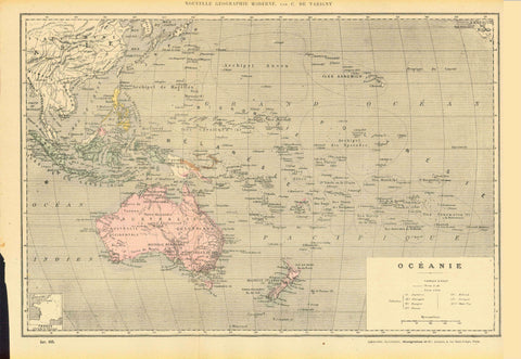
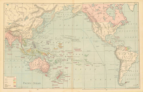
Maps, Australia, South, Adelaide, Spencer Bay, Gulf St. Vincent, Kangaroo Island
"Part of South Australia". Steel etching drawn and engraved by J.Rapkin with some borderline coloring. The illustrations are by H. Warren and J. Rogers. Published by John Tallis & Company of London & New York. Ca. 1860.
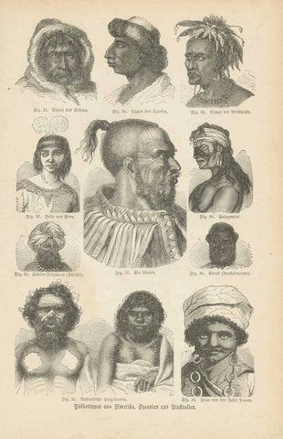
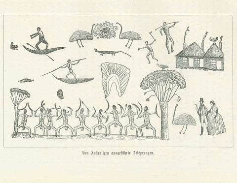
This very detailed map shows the part of South Australia that includes Adelaide and the surrounding area. It's easy to see Spencer Bay, Gulf St. Vincent and Kangaroo Island. In the lower left is the "Seal of South Australia". Further north on the west side are two aboringines on a river raft. In the upper left is a partial view of Adelaide. In the upper right is is "dingo" and a "nymphicus".
Original antique print
Light toning, horizonal fold, two small tears repaired in right margin. condition is otherwise Very Good.
Size of map without border: Ca.22 x 30 cm ( 8.7 x11.8 ")
interior design, wall decoration, ideas, idea, gift ideas, present, vintage, charming, special, decoration, home interior, living room design