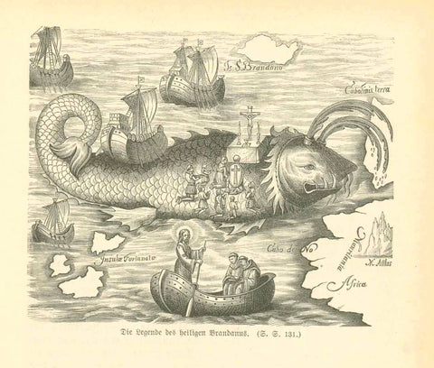
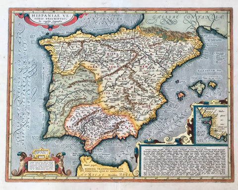
Maps, Africa, North Africa, Morocco, Algeria, Tunesia, Sicily, Malta, Portugal, Spain, the Baleares, Sardinia
"Marokko, Algerien und Tunis"
Map of North Africa - Morocco, Algeria, Tunesia, Sicily, Malta, Portugal, Spain, the Baleares and Sardinia
Line lithograph. Printed in color.
Publisher: Leo Woerl Verlag, Wuerzburg
Map has several vertical and horizontal folds. It was obviously part of a German travel guide book.
Penciled in date: 1884
The interesting feature of this map: Sicily and Malta are out of the planned format. Both islands ae shown in the right perspective, but outside the border line on the right margin.
Map had a tear within the image (on the border between Algeria and Tunesia). The tear was repaired.
Original antique print
A little wrinkly. But the appearance of the map is still good. Printed on quite thin paper.
28,8 x 37,7 cm (ca. 11.3 x 14.8") - Sicily and Malta not included in measurement. interior design, wall decoration, ideas, idea, gift ideas, present, vintage, charming, special, decoration, home interior, living room design