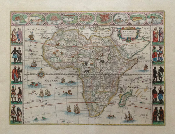
Maps, Africa, Bleau
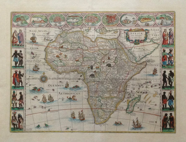
"Africa nova descriptio Auc. Guiljelmo Blaeuw"
Delicately hand-colored copper etching
By Willem Blaeu (1571-1638)
Published by Johan Blaeu
Amsterdam, 1647
Highly decorative map of Africa.
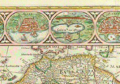
Beautiful border decoration. Top from left to right city views in the shape of medallons: Tanger, Ceuta, Algiers, Tunis, Alexandria, Alcair (Kairo), Mozambique, S.Georgius de la MIna (Elmina, Ghana, formerly Gold Coast), Canaria.
Left side: Five pairs of Natives of Africa. Right side: Five pairs of Natives of Africa.
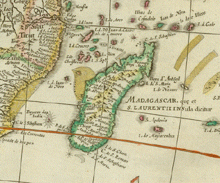
The African continent enriched with depiction of wild animals of Africa. The Atlantic and the Indian Ocean richly decorated with sail ships and sea monsters. The baroque title cartouche placed on the Arabian Peninsula. The Red Sea bearing the following titles: Mare Rubrum, Mare de Mecca olim Sinus Arabicus.
While the African continent is clearly recognized by its unique shape, the interior is in parts still the unknown continent that Africa was to Europeans well into the 19th century.
History of map: Willem Blaeu designed and printed a large wall map of Africa in 1608. The map here described is basically the map of 1608 in a reduced scale. It was published in Johann Blaeu's world atlas in Amsterdam, 1647.
Publisher Willem Blaeu. Published in Amsterdam
Original antique print
For a 30% discount enter MAPS30 at chekout
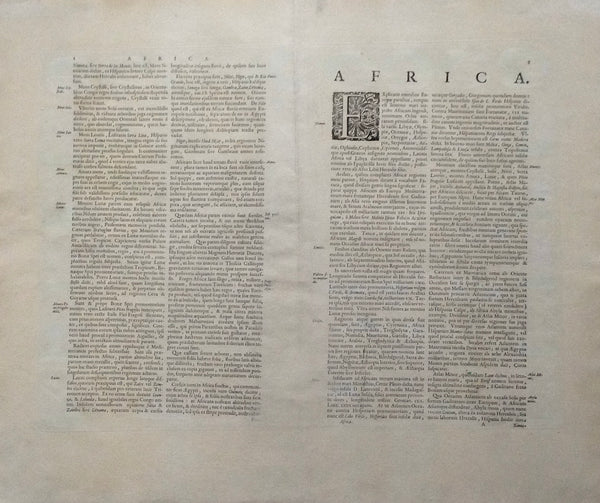
Condition: Along both sides of centerfold restorations have been professionally executed. There were water stains along centerfold and in lower margin. But they were very well mitigated and alleviated, so that they are not disturbing (only seen against a source of light and not from the front). Slightly age-toned. Wide margins
The black line on the lower left edge does not exist on the map.
Image: 40,7 x 55,3 cm (ca. 6 x 21.7") interior design, wall decoration, ideas, idea, gift ideas, present, vintage, charming, special, decoration, home interior, living room design


