Antique Map of Southern India: "A Map of the Peninsula of India from the 19th degree North latitude to Cape Comorin" This very large detailed map of southern India was engraved by B. Baker after Sir. Arch. Campbell. It was printed by W. Faden in London. Dated May 10, 1800 Hand coloring. Map has light browning. Small repair in lower margin on the centerfold. Minor signs of age and use. 49 x 81 cm ( 19 x 31.8 ")

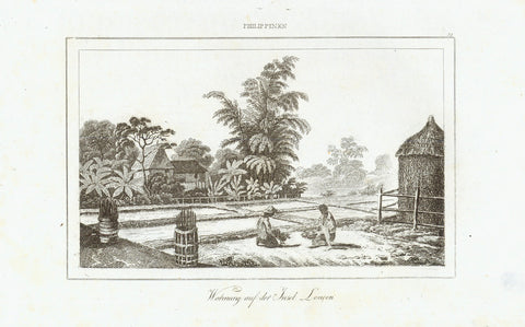
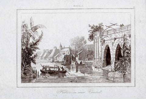
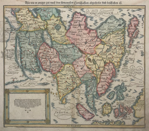
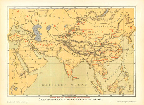
Maps, Southern India, Sri Lanka

Regular price $590.00 $0.00
Shipping and Taxes calculated at checkout.

Antique Map of Southern India: "A Map of the Peninsula of India from the 19th degree North latitude to Cape Comorin" This very large detailed map of southern India was engraved by B. Baker after Sir. Arch. Campbell. It was printed by W. Faden in London. Dated May 10, 1800 Hand coloring. Map has light browning. Small repair in lower margin on the centerfold.

Original antique print 

Minor signs of age and use. 49 x 81 cm (19 x 31.8 ")
Adam's Bridge, (Rama's Bridge, Rama Setu, natural limestone shoals) between Pamban Island (Rameswaram Island), off the south-eastern coast of Tamil Nadu, India, and Mannar Island, off the north-western coast of Sri Lanka. Geological evidence suggests that this bridge is a former land connection between India and Sri Lanka.
Keywords:
 Ramayana, Valmiki, god Rama, Vanara (ape-men), Sita, Rakshasa king, Ravana, 
 interior design, wall decoration, ideas, idea, gift ideas, present, vintage, charming, special, decoration, home interior, living room design


Share this Product


More from this collection