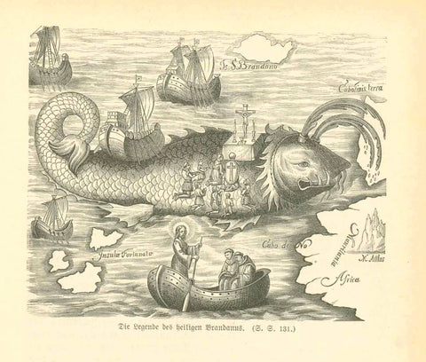
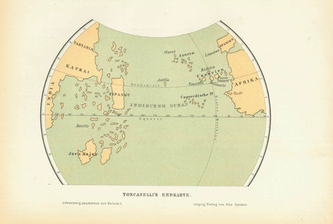
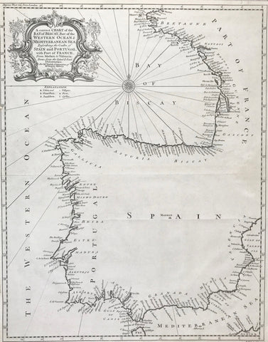
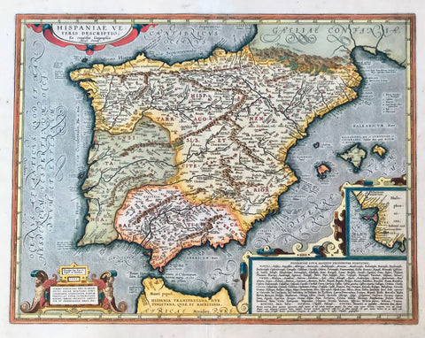
Maps, Spain, Espagña, Rio Guadalquivir, Velez Malaga, African coast, Tanger, Ceuta, Keulen
"Nieuwe Paskaart van de Kust van Hispania van't Klif tot aan Velez Malaga als mede de Kust van Barbaria Larache tot Belis Met al zyn Diepte en Droogte Naaukeurigh Opgestelt door Liefhebbers der Zee Vaart"
East-oriented copperplate etching by Johannis van Keulen (1654 - 1715). Published in Nieuwe Lichtende Zee-Fakkel. Amsterdam, ca. 1710
Very decorative portolan chart of the south of Spain from the mouth of Rio Guadalquivir to Velez Malaga and the African coast line from Larache (al-Ara'isch) to Penonde Vélez de la Gomera with extra attention paid to the area of Tanger and Ceuta. Title cartouche shows a charging bull panting with rage. Address cartouche shows an Arabian dignitary accompanied by two soldiers. Marked is the sea battle between the English, the Dutch and the French on the 24th of August, 1704.
Map is printed on typically very thick hand woven paper. It shows some small lacerations and repairs, all of them at sea. None on the coast. Aside from these the map is in very good condition.
50 x 56.9 cm (19.7 x 22.4")