Maps, Slovenia, Austria, Italy, Tarvisio, Bovec, Fritsch, Plezzo, Hermagor
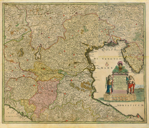
"Theil der Illyrischen Provinzen - Parties des Provinces Illyriennes"
Copper etching by A. Buerck
This map of South Carinthia (Austria) Hermagor, North East Italy (area around Tarvisio and Slowenia (Bovec, Fritsch, Plezzo) is a most detailed map of a corner in Europe, where three countries meet: Austria, Italy, Slowenia.
Original antique print
For a 30% discount enter MAPS30 at chekout
This map was published by Geographisches Institut in Weimar, Germany. Since it was printed in the year 1807, the borders between the three countries have been altered and adjusted.
Single sheet. Right upper margin corner a bit bent.
Image: 32 x 41 cm (ca. 12.5 x 16.1")
Keywords:
Illyrian Provinces; autonomous province of France during the First French Empire under Napoleonic Rule; modern-day Croatia, Slovenia, Gorizia, parts of Austria; capital was Ljubljana (Laybach, Laibach) in Slovenia. French Provinces Illyriennes ; Italian Provincie Illiriche ; Slovenian Ilirske province ; Croatian Ilirske pokrajne ; Albanian Provinca e Ilirisë; Adriatic Sea and in the Eastern Alps ,