Bavaria. - Nr.10 of the 24-piece copper etching map by Peter Weiner  Hand-colored copper etching after the woodcut by Philipp Apian (1531-1589)  Published in Munich, 1579  The map of Bavaria (Bayerische Landtafeln), when all 24 parts are put together, measures impressive 156 x 159 cm (ca. 61,4 x 62,6") The individual maps count Nr. 1 (top left) to Nr. 24 (bottom right). The complete map is surrounded by a decorative typical Renaissance fruit decor bordure.  At the time Albrecht V. was prince elector in Bava

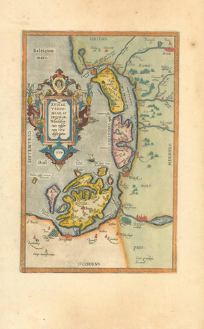
Maps, Germany, Bavaria, Niederbayern, Ingolstadt, Apian

Regular price $1,500.00 $0.00
Shipping and Taxes calculated at checkout.

Bavaria. - Nr.10 of the 24-piece copper etching map by Peter Weiner

Hand-colored copper etching after the woodcut by Philipp Apian (1531-1589)

Published in Munich, 1579

The map of Bavaria (Bayerische Landtafeln), when all 24 parts are put together, measures impressive 156 x 159 cm (ca. 61,4 x 62,6") The individual maps count Nr. 1 (top left) to Nr. 24 (bottom right). The complete map is surrounded by a decorative typical Renaissance fruit decor bordure.

At the time Albrecht V. was prince elector in Bavaria. He was an important patron of the arts and had originally assigned Philipp Apian with the surveying and map-making of Bavaria. Apian was the highly gifted author of the 24 piece map. He had chosen the method of woodcut for his map. However, a devoted Protestant he left Catholic Bavaria for Tuebingen, and Albrecht V. commissioned Peter Weiner to provide replacement for Apian's map.

Original antique print 

Geographically we see the river Danube running from Ingolstadt (on the left) to the confluence of the river Laber into the Danube. North and south of the stretch of Danube we see in great detail big and small places of "Niederbayern" (Lower Bavaria).

Very good condition. Pleasant hand coloring. Lower margin a bit wrinkly.

Map measures 31,3 x 42,5 cm 

interior design, wall decoration, ideas, idea, gift ideas, present, vintage, charming, special, decoration, home interior, living room design 


Share this Product


More from this collection