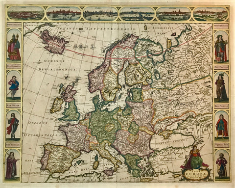
Maps, Europe
Regular price
$30.00
Shipping and Taxes calculated at checkout.
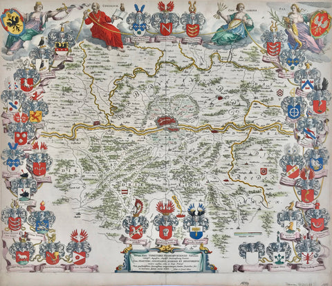
"Central Europe"
For a 30% discount enter MAPS30 at chekout
Map of Central europe printed in color and published 1894.
Of special interest is a diagram of Kansas (51,700 square miles) in the upper right to show its size compared to Central Europe.
On the reverse side is text about some of the countries on the map.
Original antique print
Image: 27 x 20.5 cm (10.6 x 8")