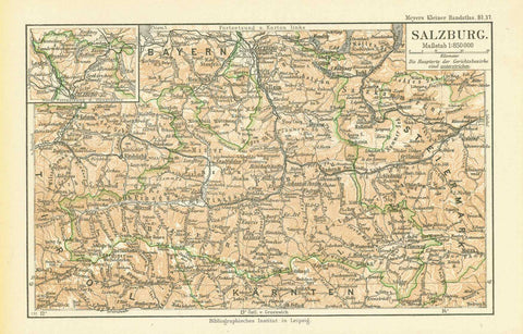
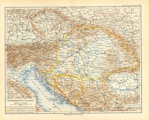
Maps, Austria, Hungary
Regular price
$35.00
Shipping and Taxes calculated at checkout.
"Austriche-Hongrie"
Austria, Hungary
Map printed partially in color ca 1890.
For a 30% discount enter MAPS30 at chekout
Original antique print
On the reverse side is text
about the Austrian-Hungarian Empire. Map has light natural age toning.
One light spot in the Adriatic Sea.
Map image: 18 x 25 cm (7 x 9.8")
Austria-Hungary, or Austro-Hungarian Empire, Former monarchy, central Europe. Austria-Hungary at one time included Austria and Hungary, Bohemia, Moravia, Bukovina, Transylvania, Carniola, Küstenland, Dalmatia, Croatia, Fiume, and Galicia.